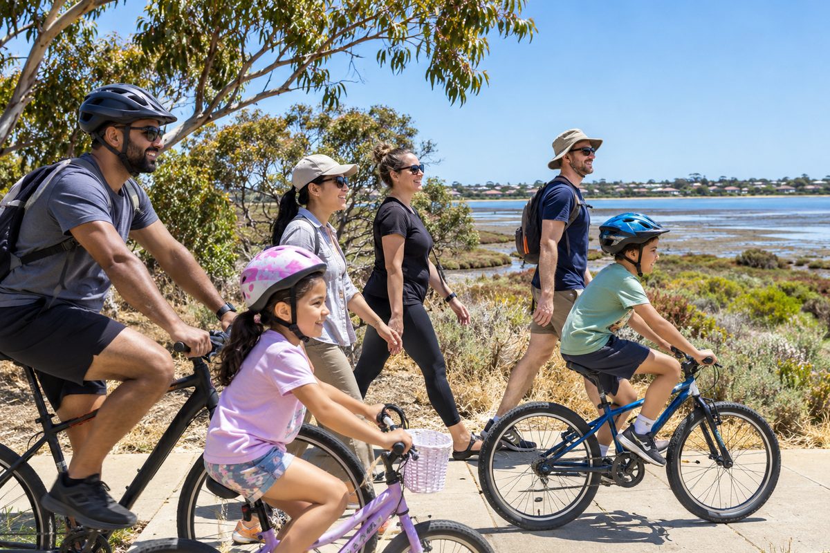
Point Cook to Altona Meadows Outing
The best Point Cook to Altona Meadows outing combines a walk beside Skeleton Creek with time in the coastal parklands and a simple food stop. The suburbs sit close together, so you can build a useful half-day trip without spending most of it in the car. The key is to choose one main activity and treat every other stop as optional.
This route suits local families, couples, walkers and visitors who want to see more than a shopping strip. It can be done by car, bike or a mix of public transport and walking. Conditions beside the creek and coast can change, so check official park notices, weather and public transport information before leaving.
What makes this local outing worth doing?
The short distance gives you more time outside. Point Cook and Altona Meadows are linked by suburban roads, shared paths and waterways that lead towards Port Phillip. A trip can move from built-up streets to open grass, saltmarsh and coastal views within a small area.
The route also reveals how water shapes Melbourne’s west. Skeleton Waterholes Creek, often shown on local signs and maps as Skeleton Creek, runs through the area before reaching the coastal system. Farther east, Laverton Creek meets the bay near Altona. These waterways support wildlife corridors while giving walkers and cyclists a break from busy roads.
The outing works best when you resist adding too many stops. A creek walk followed by a coastal stop gives enough contrast. Add lunch only when the group still has time and energy.
Where should you begin in Point Cook?
Begin near a section of the Skeleton Creek Trail that matches your group’s ability. Access points and path conditions vary, so use a current council or park map rather than relying on an old social media post. A short return walk is easier to manage than committing to a long one-way route.
Before leaving, use the local information on Point Cook Tideline to help plan the Point Cook part of the day. Pack water, sun protection and a windproof layer. The western bay can feel much cooler than sheltered streets, even when the forecast looks mild.
Point Cook Road is the main north-south road through the suburb and one of the practical links towards Altona Meadows. It becomes busy during commuter periods. If your outing is flexible, leave after the morning peak and return before the late-afternoon rush.
How should you use the Skeleton Creek Trail?
The Skeleton Creek Trail should be the active core of the outing. Shared paths beside the creek offer a calmer setting than walking next to major traffic. They are used by cyclists, runners, dog walkers and families, so keep left and make your movements easy to read.
A family with young children might walk for 20 minutes, turn around and continue the outing by car. Stronger walkers can cover a longer section, but they should still set a turnaround time. Distance feels different on an exposed path when the wind rises.
Watch for damp edges, loose gravel and low visibility near bends. After rain, water may cover low ground or leave mud beside the sealed path. Never enter floodwater, even when the path can be seen underneath it. Creek levels and flow can change faster than expected.
What can you notice along Skeleton Waterholes Creek?
Skeleton Waterholes Creek is more than a line between suburbs. It carries stormwater through a highly changed urban catchment and provides habitat where vegetation remains. Reeds, shallow water and open banks can attract waterbirds, while planted areas give smaller birds cover.
Look from the path and leave animals undisturbed. A phone camera or small pair of binoculars is enough. Feeding birds changes their behaviour and can make them ill, so keep food packed away.
Children can turn the walk into a simple observation activity. Ask them to compare the fast and slow parts of the water, find signs of recent rain, or count different bird shapes. This keeps attention on the place without collecting plants, rocks or wildlife.
Which route works best between the suburbs?
Drivers can use Point Cook Road and local connections into Altona Meadows. Navigation apps may suggest the Princes Freeway for some starting points, especially from northern Point Cook. The freeway can save time, but it also exposes the trip to congestion around ramps and interchanges.
Use live traffic information before setting out. If local roads are flowing, a direct suburban route may be simpler. If you use the Princes Freeway, choose your exit before entering and avoid last-second lane changes.
Cyclists should choose mapped shared paths and lower-speed streets where possible. A road that looks direct on a map may be unpleasant beside heavy traffic. Confirm whether the whole route suits the least confident rider, including road crossings and any missing path links.
Where does the coastal part of the outing begin?
Truganina Coastal Parklands gives the outing its change of scene. The open coastal setting feels different from the creek corridor, with wider views and stronger exposure to wind. Paths and access points vary across the area, so decide on a specific destination before leaving Point Cook.
Keep to formed paths. Coastal saltmarsh and wetland plants can be damaged by trampling, even when the ground looks bare. Dogs must be managed according to the rules shown at the chosen reserve. Check signs on arrival because restrictions can differ between neighbouring spaces.
Cloud cover does not remove the risk of sun exposure. Shade can be limited, and reflected light from water adds to the glare. Carry drinking water because a tap shown on an old map may be unavailable or far from your chosen path.
Should Cheetham Wetlands be part of the same day?
Cheetham Wetlands can fit the theme, but it should be treated as a separate planned stop rather than a quick detour. The wetland system lies on the Point Cook side of the coastal area and has sensitive habitat, controlled access and exposed conditions.
Add it only when official access information confirms that your chosen route is open and suitable. Wetlands are poor places for improvised shortcuts. Barriers and closed tracks protect both visitors and habitat.
If time is limited, choose either a wetland-focused visit or the Altona Meadows creek-and-coast route. Trying to cover both in one short outing creates more driving and less time to observe each place.
How does Altona fit into the route?
Altona, Victoria sits east of Altona Meadows and can extend the outing when you want a foreshore finish. Its beach, pier area and town centre offer a more developed bay experience than the quieter creek and wetland edges.
Do not add Altona automatically. It can increase parking time and make the trip feel rushed. It works best for visitors who want a meal near the water or a longer walk after completing the Altona Meadows section.
Laverton Creek lies between parts of Altona Meadows and Altona’s coastal area. Check the mapped crossing rather than assuming every track follows the water continuously. Creek mouths, drainage channels and rail corridors can force a longer route than the straight-line distance suggests.
Where should you stop for food or supplies?
A local Shopping center is useful for water, picnic food and toilets, but it should support the outing rather than become the whole plan. Central Square in Altona Meadows is a practical option for supplies. Opening hours and individual store times can change, so check them on the day.
Pack food that handles heat and movement. Sandwiches, fruit and refillable water bottles travel well, while foods that need strict cooling require an insulated bag. Take all wrappers home if bins are full.
If the group wants a café meal, schedule it after the walk. People often underestimate how much a long food stop reduces the usable daylight for an outdoor visit. A picnic also gives you more control over timing, though exposed reserves may have little shelter from wind.
Can public transport work for this outing?
Rail transport can cover the longer approach, but no station places you directly beside every creek or coastal stop. Williams Landing station serves the northern side of Point Cook and connects with local buses. Aircraft and Laverton stations can also be useful for Altona Meadows, depending on the route.
Laverton, Victoria is north-east of Altona Meadows and acts as a useful transport reference point, though the station is not a coastal destination. Check current PTV journey information for bus connections, service changes and platform details. Weekend works can replace trains with buses and add travel time.
A one-way walk becomes possible when public transport links each end, but confirm the full trip before starting. Pay close attention to the final bus, the walk from the stop and whether everyone can manage that distance after the main activity.
What is the easiest half-day plan?
Allow about four hours without trying to fill every minute. Start with a defined section of the Skeleton Creek Trail. Walk for 40 to 60 minutes at a pace that suits the group, then return to the starting point.
Continue into Altona Meadows for a picnic or food stop. Finish with a short walk in the Truganina Coastal Parklands if the weather remains suitable. Leave Altona or Cheetham Wetlands for another day unless everyone wants a longer trip.
This order places the most active part first. It also makes the coastal stop easy to shorten if wind, heat or tired children change the plan. A fixed departure time prevents the final walk from running into dusk.
How can families make the route easier?
Choose a distance based on the youngest walker, then cut it slightly. Children often use energy exploring at the start and struggle on the return. A loop may sound appealing, but an out-and-back route makes it easier to turn around when needed.
Use a toilet before entering a long trail section. Confirm where the next facility is rather than assuming every reserve has one. Bring spare clothes for children because wet grass, puddles and muddy creek edges can end an outing early.
Keep snacks for the planned rest point. Frequent stops can stretch a short walk into a long exposure to heat or cold. If using scooters or bikes, add helmets and check brakes and tyres before leaving home.
What should cyclists check before leaving?
Confirm the route surface, crossing points and total return distance. The Skeleton Creek Trail is shared, so speed must suit pedestrian traffic. Slow down near dogs, children and blind bends. Use a bell early enough to give people time to respond.
Carry a spare tube or repair kit that matches the bike. Mobile coverage does not solve a flat tyre on a quiet section when the nearest pickup point is unclear. Save the location of practical road access before starting.
Strong coastal wind can turn an easy outward ride into a hard return. Check wind direction as well as speed. If possible, plan the harder leg first or choose a shorter route when the forecast shows strong gusts.
Which conditions should change your plan?
Heavy rain, extreme heat, smoke and strong wind should change the outing. After storms, shared paths may hold debris or water even when the sky has cleared. High creek flow is a reason to stay well back from the bank.
On hot days, choose an early start and a short shaded activity instead of a long coastal walk. On windy days, a creek section may offer more shelter than the open bay edge. If air quality is poor, move the outing indoors or postpone it.
Check official warnings rather than judging conditions from your street. Point Cook may feel calm while the coast is exposed. A safe plan always includes an easy exit and an indoor backup.
How should you leave the area in good condition?
Stay on paths, take rubbish with you and keep noise low near wildlife. Do not pick coastal plants or enter fenced restoration areas. These rules protect ground that can take years to recover from repeated foot traffic.
Give other path users space. Keep dogs under the control required by local signs, and do not allow long leads to stretch across shared paths. Cyclists should pass slowly and return to the left once clear.
Before leaving, check the rest area for food scraps, bottle caps and small plastic pieces. These items are easy to miss and can reach Skeleton Waterholes Creek, Laverton Creek or Port Phillip through drains.
What should you do before setting out?
- Choose one main walk and save its access point offline.
- Check weather, park notices, traffic and public transport changes.
- Confirm toilets, water and a realistic turnaround time.
- Pack for exposed conditions and give each person a clear meeting point.
Choose one Skeleton Creek walk, add one Altona Meadows coastal stop, and leave everything else for another outing.